Showing posts with label moors. Show all posts

Saturday, 24 November 2012

THE DERWENT VALLEY RESERVOIRS.

A WALK AROUND AND ABOVE 
THE DERWENT VALLEY RESERVOIRS.

We turned over from October to November on the calendar, and there was a lovely autumnal scene around Ladybower. Sue decided that was where she'd like to go for our next walk, so I wrote the walk, and off we went. This was our first walk in Derbyshire for about five weeks, due to holidays, work commitments etc, so we were raring to go!
I decided to park on the viaduct to jig the walk start round a little. I usually park further up the reservoir. This is looking up Ladybower.
 We crossed the road, and immediately took the path up towards Crookhill farm. I really was hoping to see some mushrooms today, edible if possible, as the conditions were damp, BUT I had heard that it wasn't a good year for fungi. 
 After the initial steepness, the path eased a little. Looking back, we could see Bamford edge looking larger. This is a SUPER edge if you want pictures of the reservoir.
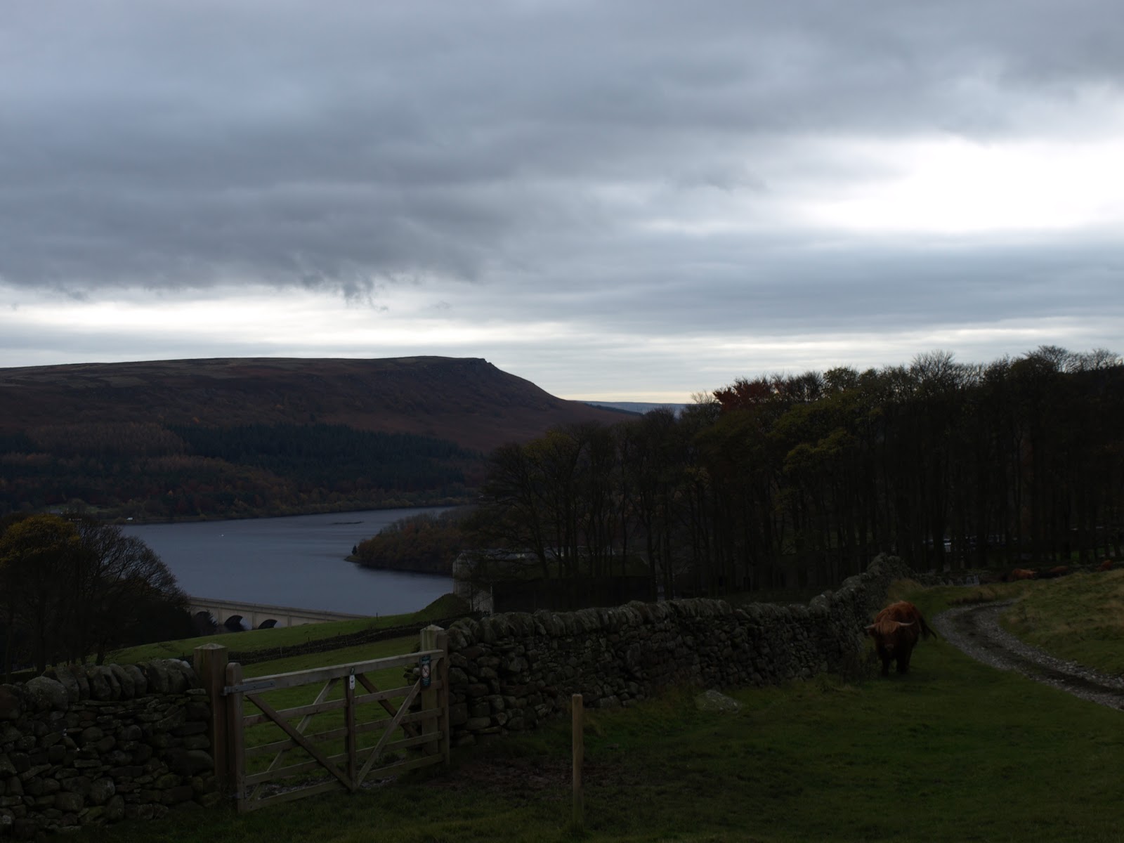
The twin peaks of Crook hill could be seen to our left. 
Looking back to Crook hill's distinctive peaks. 

 After all the recent wet weather, the going underfoot wad decidedly squidgy!
 We topped the rise, and took the path that runs alongside the wood. This area used to have terrible damage from four wheel drive vehicles and motorbikes, but since they were excluded, the path has recovered a lot. The view left was of the iconic lose hill to Mam tor ridge, part of the Castleton skyline walk.
 This time of the year, you can always count on gorse to add a splash of colour to an otherwise drab scene.
 We turned right to pass Lockerbrook farm and got our first glimpse of the reservoir since staring the walk. Normally, I would turn right, and go down through the woods to the Fairholme visitor centre, but that was the reason for parking in a different place - today we headed straight on, into the woods - a path I'd not walked before.
 One of my favourite photographic subjects - fungi. We'd not seen any of the edible variety, but this was a lovely bunch anyway.


 I also spotted this impressive, new bracket on a tree trunk.
 We were a week or two too late for the really splendid colours, but as the leaves had mostly fallen now, we had a warm, copper carpet to walk on.


 Just before we reached the valley and clearing, a Chinook helicopter flew by at ground level. One more minute, and I'd have got a video! We were now walking on level ground beside the Howden reservoir.
This trunk was suffering a full on attack by fungi, and it wouldn't be long before it crumbled down to earth. It looks like a grasping hand, reaching out of the ground,

Looking back to Howden dam, with water spilling over it.

 .....and forward to the Derwent dam towers
 The mighty Derwent dam. The water was rushing over Howden dam when we passed it, but it was barely trickling over the Derwent. The reservoir is brim-full, JUST.
 I usually only take photo's 'as is', but this one made a lovely subject for a sepia shot. It sort of gives the mood of this dreary, cold, damp time of they year.
 Something that we've only seen recently in the Peak District - hedge layering. Ingenious, the tall saplings are bent and chopped, and amazingly, they continue to grow, but horizontally! Less maintenance, and a thick cover for birds to nest in.
 We chose to cross to the 'quiet' side of Ladybower. It was a serene scene as we walked on the fallen leaves, the day all to ourselves.
 But, with the light fading, we reached the car. 
Looking up to Bamford, brooding over us as we left to go home. 
Our first walk for a while, and a really good day. Not bright, but dry, and for that, we were grateful.

Friday, 21 September 2012

Whitby, Sandsend, Whitby.

Summer rush is now well and truly over. The nights draw in, and temps drop more and more. Time, we thought, to have a last breath of sea air while we still have some fair weather. So, instead of a walk in Derbyshire, today I’m taking you to the seaside – Whitby, to be precise. It’s a three hour drive, but I always feel it’s well worth it, especially as you catch sight of this view when crossing the moors.


The vast expanse of moorland. We had only just missed the ‘purple haze’ that the heather gives when it flowers. If you’ve never seen it, it really is a fantastic sight. This view reminds me of when I did the coast to coast walk. This is the penultimate day for walkers on the trip.


Another reason I wanted the long drive – our new car. It’s lovely to drive, but I wanted to see what sort of mileage it gave on a long run (I know, I know – any excuse) :-)


The abbey sits proudly on top of the cliffs of Whitby, with the church close by to the left.

The farmers have mostly gathered all their silage etc in by now, and it’s safely wrapped up against any bad weather, waiting to be collected


In no time at all, we were in the town. Our first stop was the harbour, with this iconic view across to the church, (the abbey is just behind it, hidden by the horizon). The 199 steps that lead up to the church are famous, also the beach below them, which is where the coffin containing Count Dracula is supposed to have landed, according to legend. 

The tide was well in today, and lots of ‘white horses’ made the sea interesting. The sky was beautiful too, with the blue and white contrast of cloud and sky. We were intending to walk along the apron of the beach later, so we wanted to tide to go out a bit to expose more sand (and allow us to walk around land that the sea was, at the moment, lapping against).

A walk out to the end of the pier is a MUST for us. It’s always a nice start to any break in Whitby. It’s something we never tire of doing. Today, we were well rewarded with fine views. This is looking south, across the other pier (which ends halfway at the lighthouse – you can walk along it too, but the one we were on goes right to the end).

Looking back. You can see both lighthouses, plus the abbey is now visible behind the church. In that small row of cottages below the church is the Fortune kipper smoke house and shop. This is a very old (over 100 years)Whitby tradition, and makes a very interesting visit. If you ever go, ask to look into the smoke house. You can read about Fortunes here; http://www.fortuneskippers.co.uk/

The Royal hotel dominates the north cliffs. The famous Whity whalebones are just on the edge of that cliff, and we’ll be seeing those later on too.

But first, one of the reasons we love Whitby – the Magpie cafe. The food here is awesome, and we always have lunch here when we visit the town. This isn’t a good picture (backlit), but I can’t blame the waitress for that! Look at the lovely magpies in the ironwork against the window. The Magpie is full of little touches like this, that make it special.

So, after our ripost, it was time to walk it off! We disturbed the seagulls as we set off along the south beach on our way to Sandsend. We mostly walk from Robin Hood’s bay to Whitby, but as it had been a while since we’d done this side, we decided to do it today. 

The tide had now receded nicely, and the apron was exposed for us to walk along. The cliff headland, on the right in the distance, was where we wanted to go today. The only other time I’ve walked over them was when I walked the Cleveland way with my brother. You can read about that here; http://walkdiaries.blogspot.co.uk/2006/07/cleveland-way.html

Sunshine and sea always makes for happy, where we’re concerned.

Looking back to the pavilion of Whitby. The lighthouses on the twin piers can also be seen.

A stone displays the patterns of the tide.

These old breakwaters intrigue me. They always make for such good subjects for photographs. They have a bit of an ‘Easter island statue’ property about them.


We reached Sandsend, where we normally stop for a coffee, but today we pressed on towards the cliffs. We could see rain falling out at sea, and wondered if we’d get caught. This rainbow was spectacular, but I wasn’t keen to search for this particular crock of gold at the end of it!


The skies darkened noticeably as we topped out on the cliffs. This is the view looking back to Sandsend. If you look carefully, you can see surfers riding the (small) waves in the bay below.


It did rain a little, but only a shower and it soon passed to leave clear skies again – that was our cue for a long paddle back to Whitby.


At Whitby, we left the north beach to climb up to the cliffs above. This is where the statue of Captain Cook (sadly, covered in seagull poo) and the whalebones are. I love the way they frame the church and abbey.

One more picture, then it was time to set off home. It had been a lovely day, good for the soul. One more shot in the bones, and it was; ‘Bakewell – here we come’

Thursday, 5 July 2012

Dovestone, Yeoman Hey, Greenfield reservoirs, The Trinnacle,


Well, they said rain, but look what greeted us when we drove to the Oldham area, Dovestone reservoir, to be precise. A LOVELY day, with blue skies and those photogenic white clouds. This is the reservoir and dam.

This young lad was enjoying the steep, grassy bank of the dam. How old do you get before you stop wanting to do this sort of thing?


 Looking across the reservoir to the Dovestone Moss moors we would be on in an hour or so, but first, we had a special place to visit!

The climb progressed beyond Dovestone to the two reservoirs higher up the valley, Yeoman Hey and Greenfield. Notice, the skies are not as clear now

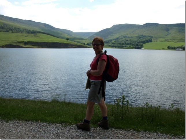
Sue and Yeoman Hey reservoir.

As we were close to Greater Manchester, the sky was busy with air traffic all day.

The banks were crowded with flowers, a lot of these orchids were in full bloom.

As we made our way ever higher, our first goal was coming into view.

A glance back saw where our efforts had brought us to.........

.....and a glance forwards saw the trinnacle! This triple fingered rock was where we were headed first, today.

A small feeder stream for the reservoirs.

A zoomed shot of the Trinnacle, we would skirt round the left, and tackle the stiff climb up onto the moor.

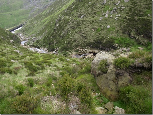
We went by way of this river, tumbling over the rocks. See that steep bank on the right? That’s what we had to climb up.


Looking back down from halfway up the climb.

Sue, hands on hips, mops up the metres as she pushes to the top.


Our reward was this stunning view, and the Trinnacle. By now, the weather was starting to resemble the forecast a lot more, and it was clouding over very quickly.

Better get up there, before the stone gets wet and slippery.

Steady there.........

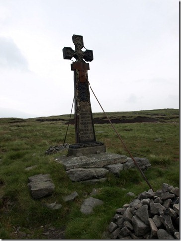
On the moor top is this memorial to James Platteson, an MP who was accidentally shot while shooting (bet the grouse laughed!!).

As you can see, it was now getting pretty bad. We’d sat in drizzle while we ate lunch, and now had to decide whether to carry on round the top and walk along that ridge on the opposite side of the valley or go down. I chose the latter, as it was getting steadily worse by the minute.

Just time to pay our respects at a cairn for two climbers who died in the Dolomites,

We left the top of the moors, and returned to the valley floor.

The weather now was slightly improving, so I wondered if we’d been a bit hasty?
That ridge is where we would have been if we’d stuck to the original plan. The views from Slack head brow are immense and fantastic, but you DO need a good day (more like it was this morning).


The cloud was now heavy over the reservoir too.

We spotted this very artistic gate. It was obviously nature park-themed, and had all sorts of birds and animals & activities depicted on it.

This must be the best and most ornate gate latch I’ve ever seen – a frog and the head of a Heron.

We got back to the car, set off for home, JUST as the deluge came. We HAD made the right choice after all, as it just got worse and worse.